In an attempt to give me a feel for and help me train for the John Muir Trail while I’m in Washington I’ve been looking for trails that would take me into cold weather conditions in June/July for a day or two at a time. The Washington Trails Association Trail Finder has been really useful for that. WTA.org has an interactive map of the trails, plus trail reports. I’ve chosen three to test me in various situations similar to the Alpine regions of the Sierra Nevadas.
The following trails take one up over 3000 feet (two over 5000 feet), meaning one will need crampons for parts and that it will probably around or below freezing at night. They’re also over 14 miles each, meaning It’ll give me a taste of some of the easier trail days.
My plan is to use them to train and test my gear for the JMT (while packing a weeks’ equivalent in weight of food) to make weight the same.
Here they are:
Roundtrip 14.5 miles
Elevation Gain 3600 ft
Highest Point 6387 ft
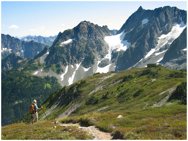
This trail takes hikers along open ridges, as one would encounter on the JMT. Route finding may be necessary as the trail doesn’t have a lot of use. Snow will present a challenge as might be the case in some parts of the John Muir Trail.
Roundtrip 12.5 miles
Elevation Gain 2475 ft
Highest Point 5000 ft
This follows the Little Wenatchee River up to its source. It’s an uphill trek, just like the many sections of the JMT that will take us over mountain passes.
Roundtrip 14.5 miles
Elevation Gain 2150 ft
Highest Point 5500 ft
This trail goes through many switchbacks as it takes you up to Cathedral Pass. Yet another similarity to the JMT.
What are your favourite training trails?
 The Outdoor Adventure Giving you tips, tricks & recommendations to help make adventuring in the Outdoors fun, safe & exciting for you and your kids.
